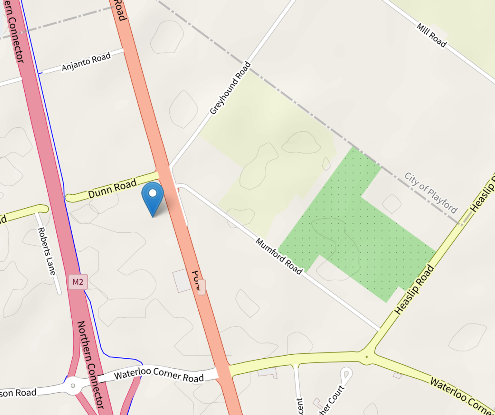
Waterloo Corner, South Australia
Free from, Australian History
Waterloo Corner is a suburb with a portion of the district that lies in the City of Playford boundary, the area is on a main route north of Adelaide.[1]
| Waterloo Corner Adelaide, South Australia | ||
 | ||
| Map of Waterloo Corner | ||
| lga | City of Salisbury | |
| lga2 | City of Playford | |
| postcode | 5110 | |
History
The historical Waterloo Inn was prominently situated at the intersection of Saint Kilda Road and Port Wakefield Rd,[2] the Inn was also near site of the now demolished Elim Chapel and cemetery.[3]. According to sources the area may have been named after the battle of waterloo.[4] This area's later urbanization can be traced back to the planning and establishment carried out in the year 1960 by Southern Estates Ltd who further developed the area on part sections 5028.[5]
References
- City of Playford a Brief History, By Linda Allery & Grace Trimboli,1999, P.45.
- The Romance of Place Names of South Australia, By Geoffry.H.Manning, 1986, P.224.
- City of Playford a Brief History, By Linda Allery & Grace Trimboli,1999, P.45.
- Place Names of South Australia, By R.Praite & J.C.Tolley, 1970, P.192.
- The Romance of Place Names of South Australia, By Geoffry.H.Manning, 1986, P.224.
